Detail View: RIT ARCHIVE COLLECTIONS: Plat Book of the City of Rochester New York, 1900
|
Filename:
|
acRITArc.0464_B2_284.tif
|
|
Identifier:
|
acRITArc.0464_B2_284.tif
|
|
Creator:
|
Unknown
|
|
Title:
|
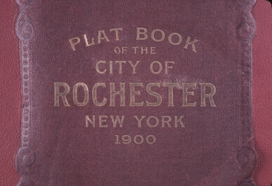
Plat Book of the City of Rochester New York, 1900
|
|
Summary:
|
Front cover of the 1900 City of Rochester Plat book. A plat is a map, drawn to scale, showing the divisions of a piece of land.
|
|
Date of Original:
|
1900
|
|
Date of Digitization:
|
2013-10
|
|
Broad Type:
|
still image
|
|
Specific Type:
|
slides
|
|
Digital File Format:
|
tiff
|
|
Physical Format:
|
color slide
|
|
Library Collection:
|
RIT University News slide collection
|
|
Catalog Record:
|
https://archivesspace.rit.edu/repositories/2/resources/458
|
|
Notes:
|
Rochester Institute of Technology. Rochester Athenaeum and Mechanics Institute. Rochester (N.Y.). Rochester Institute of Technology -- Buildings.
|
|
Notes:
|
B2
|
|
Notes:
|
Land use mapping. Books.
|
|
History[1]/stEvt:softwareAgent:
|
Adobe Photoshop CS5 Windows
|
|
ModifyDate:
|
2013-10-30T14:51:47-04:00
|
|
History[1]/stEvt:when:
|
2013-10-30T14:27:43
|
|
OriginalDocumentID:
|
xmp.did:2BB0E42A9441E311B934F6323DEBB523
|
|
History[1]/stEvt:action:
|
created
|
|
History[1]/stEvt:instanceID:
|
xmp.iid:2BB0E42A9441E311B934F6323DEBB523
|
|
ICCProfile:
|
sRGB IEC61966-2.1
|
|
History[1]:
|
type=Struct
|
|
CreateDate:
|
2013-10-30T14:27:43
|
|
History:
|
type=Seq
|
|
CreatorTool:
|
VueScan 9 x64 (9.2.04)
|
|
format:
|
image/tiff
|
|
DocumentID:
|
xmp.did:2BB0E42A9441E311B934F6323DEBB523
|
|
MetadataDate:
|
2013-10-30T14:51:47-04:00
|
|
ColorMode:
|
3
|
|
InstanceID:
|
xmp.iid:2BB0E42A9441E311B934F6323DEBB523
|